Thursday, 2 August 2012

Shetland! Day 2: Fetlar, Mainland, Muckle Roe, Whalsay

After a decent night's sleep and and a spot of breakfast we set off for an early morning explore of Fetlar. There's only really one road, and as we'd arrived from one end, we decided to check out the other. First place we came to was Funzie (disappointingly pronounced 'Finnie' apparently), not really worthy of a place name, but at the end was a shingle beach with the 'Haa of Funzie standing above, from where Shetland fisherman in the nineteenth century set out in their open topped sixareens to fish the waters up to fifty miles out to sea in treacherous conditions. Not stopping for long we went right to the end of the road,  parked the car and continued on foot around some impressive cliffs with turquoise sea below. 

We made a brief stop to cross on a narrow isthmus to a piece of land almost cut off from the rest of the island, we figured one day it'll probably erode itself away into an island, then when it does we can say we've been there already. Counts right? On up the hill we came to our intended destination, the round house at Gruting (which is definitely not a place. It has one building and that has fallen down). 

The roundhouse was built by Sir Arthur Nicholson, classic Shetland baddie, who bought most of Fetlar in the past sometime and told all the crofters they had to leave his land. He used the stones from their dismantled and demolished crofts at Gruting to build his own 'single storey classic summerhouse' on the loneliest spot on the island. Rumour has it that he only stayed one night, because he heard strange noises and was too unsettled to stay any longer. Was it the ghosts of the displaced farmers showing their displeasure? Probably not, but it was a good background story for a bracing walk up through the Fetlar countryside.


The beach at Funzie


The sea looked more Scilly than Shetland here


The beach at Gruting


What's left of the roundhouse at Gruting

Back to the car and straight back to the ferry at Hamar's Ness we again crossed Yell doublequick and on to the mainland. The itinerary had a few hours free before our next ferry crossing, so we decided to see what extra islands we could fit in. The first of these was big enough and populated enough that we really should have had it in our sights before, but it was good that we had some time to explore Muckle Roe (6) either way. To get there you go west from what looked like Shetland's most happening town outside of Lerwick, Brae, but you don't carry around the road towards Northmavine, it's probably pretty easy to miss. Joined to the mainland by a little bridge it's a pretty uniformly round island (used to be a volcano) and home to around a hundred people who don't have to rely on a ferry to get anywhere unlike most of the people on the other islands. 

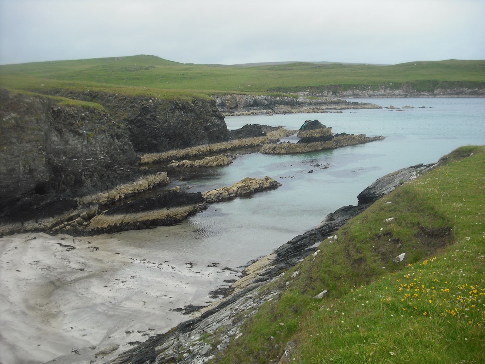
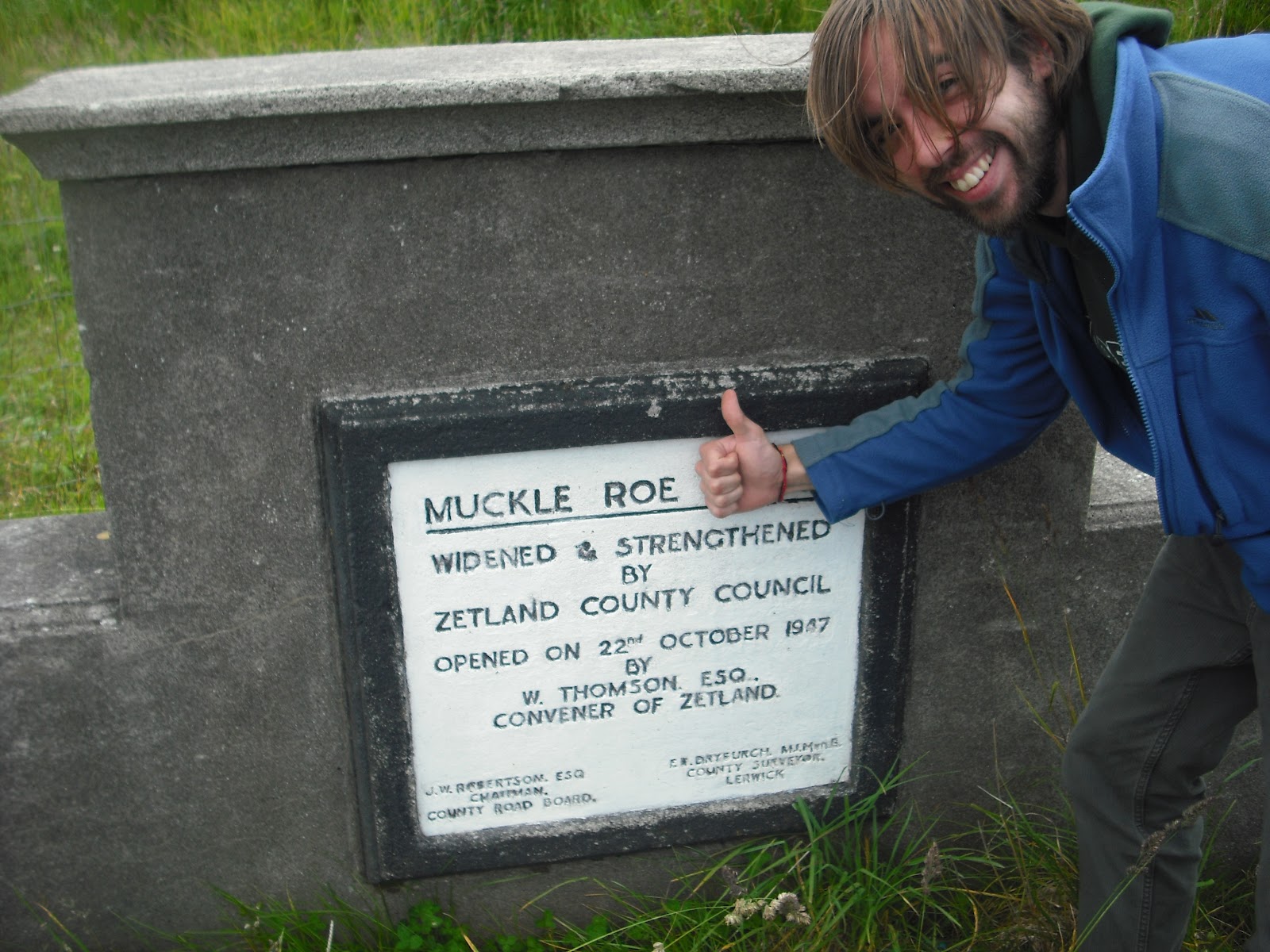
After stopping for the obligatory thumbs up pictures we did our usual thing and carried on to the end of the only road, which turns into a track, which turns into a footpath, and eventually you come to yet another rugged and beautiful beach, this time we had what looked like some kayaking scouts for company, well their tents and their kayaks at least, no-one to be seen. This seemed like as good a location as any to host the inaugural Shetland All-Britain Rock Boules Cup, with me representing Wales, Mike was England, Liam tenuously Ireland as his Dad's Dad is from there, and Fran even more tenuously Scotland as that's where she went to medical school. Despite difficult weather conditions the first two rounds saw Wales and England qualify for the final, with Wales taking the eventual crown. Just a little bit of competitive sport to make up for us missing the start of the olympics!


The sign actually relates to the bridge, they neither widened nor strengthened the island
Fishing Boat
Action shot from the sporting action
On the beach on Muckle Roe


 Having consulted lots of maps for possible islands we could visit without the use of a boat in between trips, we had seen Gluss-Isle and thought we'd give it a go. Heading for the first time across the narrow isthmus of Mavis Grind and into Northmavine we drove towards Ollaberry and down a tiny farm track to Gluss, where a causeway stretched across the water to the 'island'. Braving Arctic Terns overhead and scaring away the resident sheep we crossed the ayre on to the landmass, but we were far from sure it counted as a proper island. Knowing that the tidal range in Shetland is very low, only about a metre and a half, the causeway seemed to dry and established to ever be covered by the sea. After some tentative photos we returned to the car, and in one of Shetland's rare and seemingly random 3g reception areas confirmed via smartphone that no, Gluss-Isle, despite the name, is really just a glorified peninsula.


The causeway to Gluss
Is it a bird, is it a plane? It definitely isn't an island!


 Moving on, to what definitely does count as an island we drove across the mainland to Laxo for the four o'clock ferry to Whalsay (7). In the main the ferries around Shetland are quick, cheap and hassle free to use, presumably heavily subsidised as they are a vital lifeline to the residents. The boat to Whalsay was no exception, and we left the car at Laxo to cross as foot passengers for the half hour ride.

For its size and distance from the mainland Whalsay felt positively bustling with activity during the three hours or so we spent there, with Symbister, home of a large part of the Shetland fishing fleet genuinely managing to feel like somewhere with something going on. Boasting its own leisure centre, well appointed school, actual proper shops and Britain's most northerly golf course, it was one of the few islands I could imagine people actually living their lives on. 

After a stop to explore the Hanseatic trade museum in the authentic booth right out on the harbourside (entrance a pound, get the keys in the shop across the road) we headed up into the hills for a good ramble, vaulting a couple of fences and dodging an angry looking bull to get out on the open moorland. After a bracing couple of miles and an awful game of throw the rock at the rock, we collected lots of shells for fun and then returned to Symbister and waited for the ferry back 'home'.


If the Whalsay tourist board is looking for a new poster boy...


Emblem outside the museum


Boggy


Boats in the harbour at Symbister
 Home that night was at the Sail-Loft camping böd in Lower Voe, a great big space with room for sixteen, but we had it to ourselves. Overlooking the little pier behind, and conveniently opposite the only pub we ventured into in Shetland, the Pierhead restaurant and bar, where we splashed out on moules et frites, presumably caught fresh that day from one of the many mussel farms in the voe. A relaxing end to what was a fairly relaxing day island count wise, only two new ones, though we'd hoped it might have been three, still lots more days to go!


The view from the window at the Sail Loft


Tuesday, 31 July 2012

Shetland! Day 1: Lerwick, Bressay, Yell, Unst and Fetlar

A couple of months in the planning, with a strict itinerary but lots of fun to be had, Shetland was going to be our furthest trip and opportunity to visit some of the most remote islands of the UK. We'd set our sights on visiting at least nineteen islands, having trawled and pored over ferry timetables to fit in as many as we could in the seven days we would have up north. 

The first day and a half was something of a test of endurance, leaving Bristol late Friday evening and (Liam) driving through the night to arrive in Aberdeen at around eight Saturday morning. After dropping the car off and finding some breakfast, we waited around for the Northlink ferry which left at five, travelling north. Aberdeen was pretty grey.

At this point an introduction is probably in order. You will remember Fran from the trip to Wales, she came, and the dude in the sunglasses below, that's Mike. Top island bagging attributes: had good stove, made tasty food, proficient at lighting peat fires and excellent rock star pose. 

The Sand Dollar Cafe, Seafront, Aberdeen

 
Leaving Aberdeen Harbour
After another leg of the mammoth journey, 14 hours on the ferry to Lerwick via Orkney (which we slept through) and past Fair Isle, (which we did watch go past at four in the morning) we arrived into Lerwick (Shetland Mainland (1)) at seven. Leaving our bags for now, we headed straight for another ferry, this time taking only seven minutes over to the island of Bressay (2). The weather at this point was awful and it was raining heavily, and with breakfast on our minds we only managed a brisk mile or two up onto the hillside before heading back across into town and straight to the Co-op for a full Scottish fry-up (so no interesting facts about Bressay).


Shop in Lerwick

Bressay (didn't go to Noss)


Bleak
 After breakfast we headed to Bolt's to pick up the hire car, then heading straight north, first through the mainland, and caught two more ferries, first over to Yell (3), and then after driving straight across, onto Unst (4), the most northerly inhabited island of Great Britain (hold on, lots more superlatives to come!). With the population thinning to just sparsely dotted farms and houses along the roadside, the outlook got wilder as we came to the very end of the road at Hermaness nature reserve. 


Liam definitely did go to Yell

Still raining, we continued on foot through the moorland bogs up onto the headland, surrounded by ominous looking Great Skuas who were asserting their dominance overhead. Known as the "pirates of the bird world", over half the world's population live on Shetland, and the grey-brown, brooding beasts have certainly found a spot to match their own description. Undeterred by the threat of aerial bombardment (another theme of the week) we arrived at the end of the cliffs, with views out over Muckle Flugga lighthouse and Out Stack, the most northerly of northerly. It sort of feels like a shame that we've done the furthest south the the furthest north in the space of six weeks, and there's nowhere further to go, but then again, all of the rest of the islands we want to visit are in between, so we know what the boundaries are! 


Hermaness in the rain


More Hermaness in the rain


Liam, Fran and Muckle Flugga


Anyway it was still raining, and not very nice to be out in, so we retraced our steps back to the car, and after a quick stop at Skaw (most northerly populated place) and again to have some pictures in front of the famous Unst bus-stop and John Peel Memorial Traffic Island (not sure if it is actually that famous) we made it to the pier just in time for the ferry to Fetlar (5), our fifth island of the day and where we would be spending the night.

Fetlar is the fourth largest island of the archipelago, with a population of under 100, a haunted roundhouse, a campsite, and like many of the islands, an important historical link to Hanseatic trading routes from Germany and the Baltic States in the thirteenth century, long before this was even part of Scotland. It is also known as the 'Garden of Shetland' due to the fertile soil, I presume also in part due to it being on the eastern edge of the islands, protected somewhat from the worst extremes of the Atlantic winter. Still pretty drizzly when we were there.

Unst bus-stop


Island number five!


In terms of accommodation, for all of our nights in Shetland we stayed in Camping Böd's, mostly renovated fisherman's huts and cottages with a history all of their own, dotted around Shetland in some really picturesque spots, and at really good prices for basic amenities. Blatant plug but http://www.camping-bods.com/ will give you more info.

The first one, at Aithbank on Fetlar was our first chance of a proper bed since Thursday and even had a hot shower. The first day had been a bit frantic and a bit frazzled from the traveling, but we had managed five islands already, been to the top of the world and back, and we still had six more days to go. An Otter darting back and forth across the road right in front of the böd before bed rounded the day off nicely, if only he'd stuck around long enough for a photo...


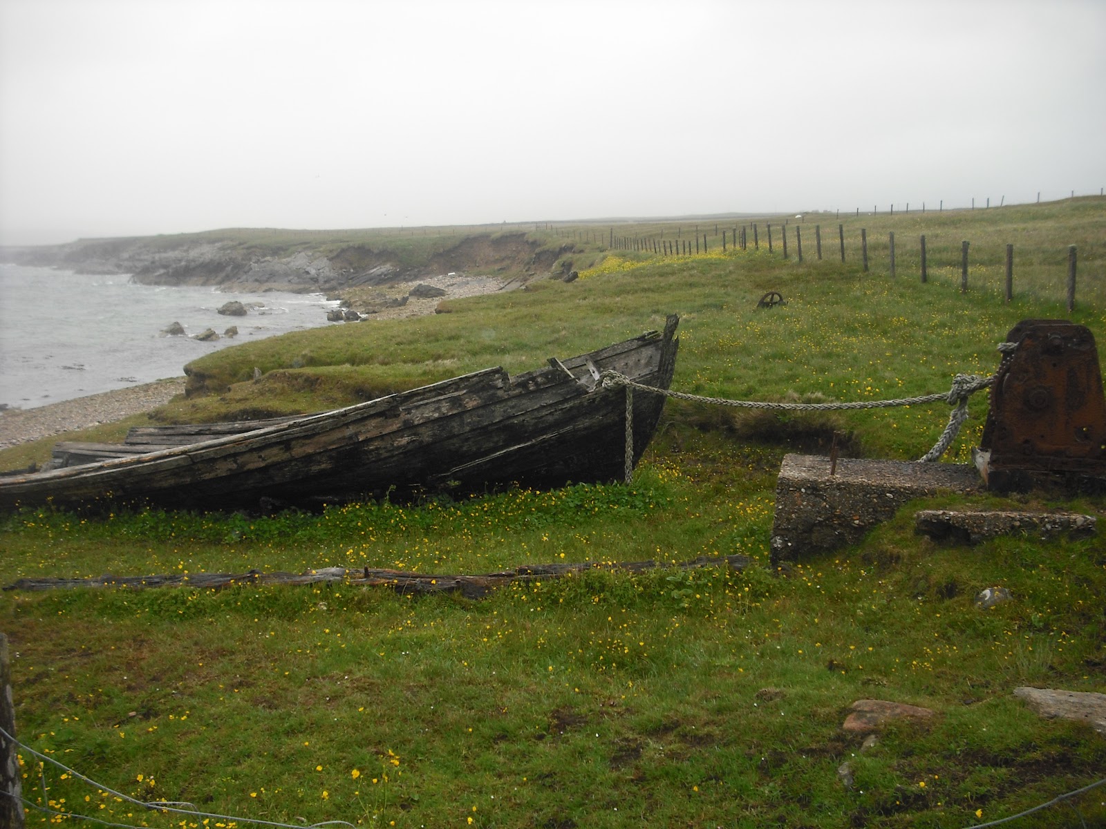
Old boat pulled up high near Brough Lodge, Fetlar


Never really got the jeans dry


Sunday, 22 July 2012

 Live update!

Bit of a test to see if the app works...
We made it to Shetland, 36 hours travelling and two nights without a bed, got to Lerwick at seven thirty this morning, had a walk on Bressay in the hammering rain, picked up the hire car and drove through the mainland, over Yell and onto Unst. Walked through Hermaness nature reserve and to the northernmost point in the UK (nearly! We could see out stack) again in the pouring rain. On the ferry to Fetlar now for our fifth island of the day and our first bed in a while at the Aithbank camping bod. So far so good, Whalsay tomorrow!

Tuesday, 3 July 2012

Shetland Showdown - Route well and truly planned

We've finished the very specific plan for Shetland. Nearly 1400 miles in the car, squillions of ferries, overnight somewhere different every night, hopefully some kayaking, and a little bit of going in an aeroplane for good measure. Best just hope the weather holds up! Just over two weeks to go!

Tuesday, 12 June 2012

Isles of Scilly! Day 3 Part 2 and Day 4: St Mary's

Gluttons for punishment that we are, we arrived back to St Mary's tired and damp at around half five, but rather than relaxing and taking it easy on our last night, after some chips from the best organised chip van ever (with 2 Brian's), we decided to do a quick lap of the island, hoping to get round to the Old Town Inn, the last of the Scilly pubs (that we knew of) in time for a quick drink before bed. 

Things started well enough, we followed some inland tracks and paths (as we'd already done the first part of the coast path on day one) until we came to Halangy Down and some old-timey neolithic rock formations at Bant's Carn and the Iron Age village. The sun was shining and there were awesome views out over the islands in the late afternoon. 

Scilly, but no sea view. A real rarity. 

Bant's Carn, Halangy Down. Real old burial chamber.

That little bit or rock in the foreground is Creeb. We thought it might have been a proper island, but it's pretty Creeby. 

After hiking around some idyllic coast path, with the scenery changing at every promontory, and eventually the distant and unreachable Eastern Isles coming into view, we saw below us the rocky crag of Innisidgen (25) like a finger pointing away from the land. It had it's own burial mound, but most of all it was a tidal island, and yet again we had arrived just as the tide was receding to form a causeway over the rocks. Old hands at this sort of game now we sat and waited for perhaps ten minutes before a splish-splash jump and skip onto the rocky little island. Didn't stop for long, took a photo and carried on.


Innisidgen Burial Chamber


Innisidgen from the shore, as the tide washed out


Made it!
From there we knew there was one more island left to do, Toll's Island, a sizeable tidal affair in the centre of Eastern St Mary's. When we arrived the causeway was sandy, so wading seemed like a reasonable option, but it was just too deep for a bit, so we indulged in a game of our new favourite Scilly sport, Rock-Boules. Pretty straightforward, chuck stones at other stones. Hit the middle stone and score points, less points in the outer rings. All you need is some stones.


Rock-Boules. I think I was probably winning. 
Unfortunately while we were waiting, the tide was definitely going out, but we were in fact getting a lot wetter. The rain had started, and with it the realisation that we were a good couple of miles from the tent (and possibly anywhere dry). This was compounded by my foolish and regrettable decision to leave my jeans on and not change into my shorts when it was time to wade across to Toll's Island (26), as it was deeper than I thought, I got soaked, and had to put up with carrying a soaking pair of jeans for the next four miles, and wearing my shorts in the pouring rain didn't keep me warm at all. A slightly miserable and uncomfortable end to the islands of Scilly, but I still managed a half-smile for the required evidential picture!


OK maybe a bit fed up now!


Toll's Island from the shore. In the rain. 
The rest of the way around to Old-Town was fairly miserable, it was getting dark, raining heavier all the time, and apart from a cave where we took shelter for ten minutes, we kept getting wetter and wetter. Notable things about this part of St Mary's - rock shaped like a camel, monument to the person with the best name ever, Admiral Sir Cloudesley Shovell, whose ship was dashed against the rocks in 1707. Also it was fun to walk right up close to the runway of the airport, not many can have footpaths so close. There was probably more stuff that would have been good to look at, but we were in a "head down, keep going" mode, all the way to the somewhat posh Old Town Inn. Couple of pints in almost silence from exhaustion, then a sodden trek up the hill to Hugh Town and bed.


Rock Like a Camel


Monument to Cloudesley Shovell
Next morning we had to be off the campsite by eleven, and whilst we had entertained the idea of getting a quick trip out to land on one or more of the Eastern Isles, we never did. Partly maybe the jubilee celebrations meant there were less boats running, but we were pretty much whacked from the day before to make too many strenuous enquiries. We watched the boats come and go for an hour or so, had one last game of Rock-Boules on Porthcressa beach, and caught the 4:30 Scillonian back to Penzance. 

Time for one more island? Definitely time for a look, but at eight when we drove round to Marazion there was still an awful lot of water between the shore and St Michael's Mount, and we still had a 200 mile drive in front of us and I had work the next day. Another time, another time...


St Mary's Quay, Queens Jubilee Day 2012


Loading the Scillonian for departure.


We'll get you one day!
So yeah, that was our four days in Scilly. I think we packed about as much in as we could, but we didn't go to Annet, or Gweal, or any of the Eastern Isles, so there's definitely enough to warrant a return visit one day. We had an awesome time thanks, just back to work for a month and a bit then off to Shetland for the week!

Monday, 11 June 2012

 Isles of Scilly! Day 3 Part 1: Bryher and Beyond!

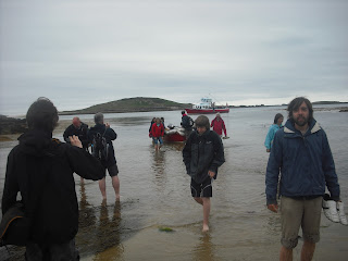
Up with the lark and ready to take the island adventure to the next level. Early boat to Bryher round the back of Samson and a landing at Rushy Bay due to the low tides, our first new experience came in climbing down from the big boat, into a smaller boat, and when that boat could go no further, climbing out and wading the last few metres ashore. I think Reepicheep said something similar about finding heaven in a well known TV series filmed partly in Scilly, so it's pretty fitting that we came ashore onto Bryher (12). Undeniably beautiful, but time was of the essence so we made a quick dash for it. 
Triple parked on St Mary's Quay

Sailing Round Samson

Arrival on Bryher

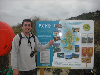
No need for a caption. Me on Bryher

To what turned out to be quite the wrong place, Bennett's boatyard was almost right back where we'd come from. Eventually we got there and after signing some perfunctory paperwork and picking up some buoyancy aids, we were escorted out to the beach and down to our chariot for the day, a 14ft motorboat with a 4hp outboard motor. Now no island was out of our reach (as long as it was in the well defined "safe" area between Bryher, Tresco and St Martins)!

We had a map or two (and a dry one until Liam dropped it in the sea), and we knew that the tide was starting to come in, and with sausage rolls and out of date Rio we set sail aboard our good ship...For about a hundred yards, until we reached a giant sandbar blocking the exit between Bryher and Tresco, and unusually for a boat, we had to get out and push, even more unusually was meeting some other guys pushing their boat the other way. When in Rome I guess! With that over we got back on board and headed around the southern side of Tresco and towards St Martins, our first stop being the tiny Guther's Island (13) where we first practiced stopping the boat with accuracy. Didn't crash!
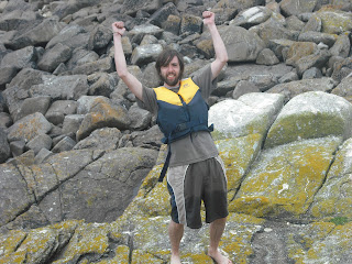
We have an awful lot of pictures exactly like this. Liam on Guther's Island

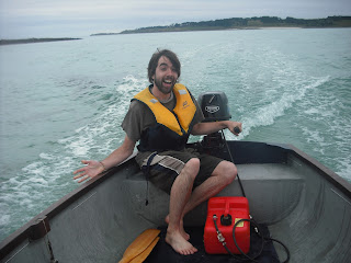
First Mate Liam takes a turn at the helm
Next we sped over to St Martin's (14) for our briefest stay on an inhabited island, just long enough to get onto dry land and take some snaps, partly because the tide was coming in and we couldn't leave the boat for too long, partly because we had so much to do, and partly because I heard the pub was closed anyway. Sorry St Martin's, next time...next time.
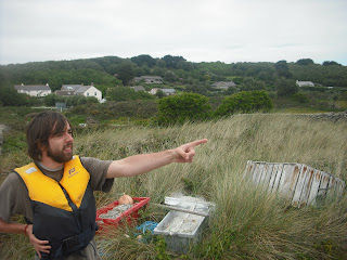
St Martin's
Then it was a short hop across to Tean (16), without missing the tiny tidal outcrop of Crump Island (15) to the South. This was our first encounter with the screaming circling gulls, who seemed intent on keeping us away from their nests. Fair enough, it's their island, so we just stayed long enough to get a picture and basically ran away.
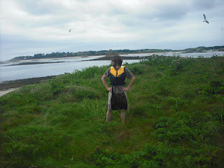
Tean. Real Life Angry Birds. 

After this came something of a scary moment. In fact, probably the scariest moment of the holiday, if not the year. You see, there is a good way to go from Tean to St Helen's. It's not very far and it's not very rough (and it's also within the area we were permitted to go). There's also a bad way to go, around the back of Tean, towards Round Island, where there is no cover at all from the Atlantic swells and only the jagged shoreline behind for refuge (or a complete obliteration). We went that way. 

The waves were bigger than the boat and Liam who was steering at the time suddenly went very quiet, then very loud and many expletives came out of his mouth. All we could see ahead of us were rocks and more rocks, some of them clearly just under the surface, and we didn't really know the way. There was no time to check the map and certainly no time for pictures, as it took four eyes and a lot of swearing to remain in control. Eventually we came upon a small opening between Tean and St Helen's (17), perhaps fifty metres wide, and keeping as clear from the rocks as possible Liam managed to steer us back into calmer water. We disembarked and scrambled up onto the grass, rounded to the ruins of an isolation hospital where they used to put the sick sailors to stop them infecting other island folk (and probably usually to die) before again the gulls decided to take control, and yet again the tide was rushing in faster than our anchor dragged up the beach, so we high-tailed it back just in time as a sandbar was being washed away. 
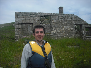
Outside the ruined isolation hospital on St Helen's (and still alive!)

Our Little Boat, either on St Helen's or Northwethel. Memory blurs
Next were a few little islands, Northwethel (18) came first, where we found some interesting stones that are either Neolithic or from when someone had a campfire recently. From there it was across to Foreman's Island (19) and a little wade across a seaweed covered slippery channel to Peahopper Island (20), we tried to land on Crow Island but the kelp was too thick to use the motor and the oars kept getting caught. It wasn't much more than a bit of rock anyway, so we decided against it.
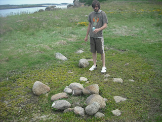
A find of huge archaeological importance on Northwethel

Peahopper island from Foreman's island. Just about wadeable if you've already got wet up to
your waist twenty times today


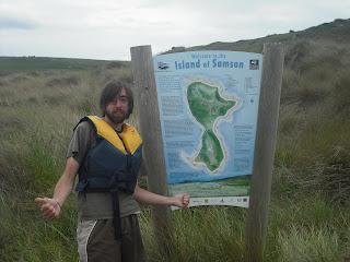
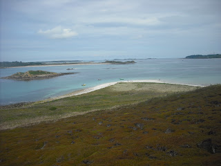
After that, it was time for the long (not very long, couple of miles tops) trip right around Tresco to Samson, and the map said that we'd find a few more islands when we got there. After some excellent seamanship from myself (modest as ever) we rounded the rocks between St Mary's and Tresco as they were being covered by the tide, and avoiding a few rocky outcrops again just under the surface, beached gracefully onto the white sand of Samson (21) just as the sun came out. The largest and most recently inhabited of the uninhabited islands, we took a little longer to climb to the top of the north hill and took in probably one of the best panoramas in the whole archipelago, with views all around to where we'd been and where we were going. Saw a few cairns and ruins, lots of gulls, and went back to the boat.
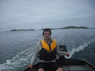
Captain Sam
Samson! Wahey!
From North Hill on Samson, St Mary's to the right, Tresco in the centre and left middle distance and Puffin Island to the left foreground. 

Next we made land on Puffin Island (22) next to Samson, I believe tidal, though the range is so wide it's hard to tell, and then with great difficulty, lots of rowing, punting and expert manoeuvring to reach the rocky weedy shoreline of Plumb Island (23). This one definitely is tidal, off the edge of Tresco, but we'd missed it the day before as the tide was out. Barely room to stand and take a picture (so my face was too big, so I'm not posting it) then we motored up between the pleasure craft in the bay between Tresco and Bryher to Hangman's Island (24), a steep rocky hill where a hangman's noose can still be seen on top where they killed loads of pirates in olden times.
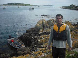
Hangman's Island. The thumbs up pose was starting to wane

After that it was time to head back to the boatyard and give back our new best friend. It's on my wish-list if anyone fancies buying me a nice new toy for Christmas? We had just enough time for a walk to the north of Bryher where we found the Fraggle Rock Cafe (pub), sunk one little pint of Rattler (couldn't drink and drive the boat) and then got back to the quay for the trip back to St Mary's. About six hours, thirteen islands, you'd think that would be enough fun for one day!

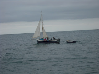
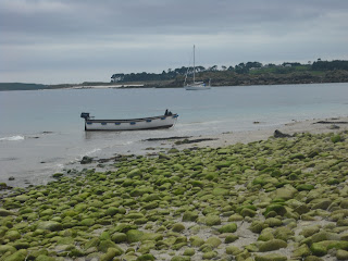
A nice picture of some boats

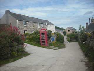
Downtown Bryher

Fraggle Rock Cafe. Blissful. 

Boat